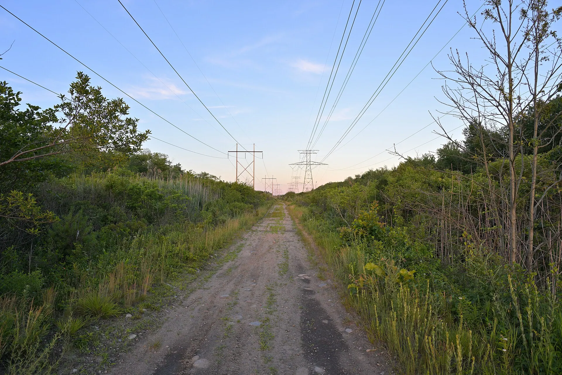
Location and access
The Bridgewater Triangle covers roughly 200 square miles of southeastern Massachusetts, loosely bounded by Abington to the north, Freetown to the southeast, and Rehoboth to the southwest - an area that includes Taunton, Brockton, Raynham, and both Bridgewaters along with Hockomock Swamp itself. The swamp sits at the region's muddy center, a roughly 17,000-acre wetland complex that Massachusetts has protected since 1990 as an Area of Critical Environmental Concern.
Most of the Triangle is ordinary public and private land with no special access rules. The Hockomock Swamp Wildlife Management Area, owned by the state Division of Fisheries and Wildlife, welcomes hikers, anglers, and canoeists on its marked trails and waterways, as does the nearby Freetown-Fall River State Forest. Large stretches of the swamp beyond those managed trails, however, are genuinely difficult terrain - thick cedar bog, sinkholes, and quicksand - so visitors are advised to stick to established routes rather than bushwhack toward any supposed hotspot.
History and legend
Long before anyone called it a triangle, this swamp carried real weight in regional history. Wampanoag speakers named it Hockomock, "place where spirits dwell," and English colonists later called it "Devil's Swamp." During King Philip's War in 1675 and 1676, one of the bloodiest conflicts per capita in American history, Wampanoag leader Metacomet used the swamp's difficult terrain as a strategic refuge while fighting Plymouth Colony forces; his eventual defeat and execution left a documented scar on the region's collective memory that outlasted the war itself.
The modern "Bridgewater Triangle" label is far younger. Cryptozoologist Loren Coleman named the area around 1976 after a local library lecture, then formally defined its boundaries in an April 1980 Boston Magazine article and expanded the casebook in his 1983 book "Mysterious America." Coleman folded in decades of scattered local reports: a 1971 sighting by Norton Police Sergeant Thomas Downey of a large winged creature over Easton, a 1979 account from two Boston radio reporters of a glowing, home-plate-shaped object over West Bridgewater, plus Bigfoot-like creature reports, giant snake tales, and recurring "spook light" sightings around the swamp itself. Coleman explicitly modeled the Triangle's name on the Bermuda Triangle, giving a loose collection of unconnected local stories one memorable, marketable map.
Related places and beings
The Bridgewater Triangle sits alongside the Bermuda Triangle as one of America's two best-known "named triangle" legends, and shares its New England haunted-wilderness territory with sites like Skinwalker Ranch and Area 51 in the broader catalog of American paranormal hotspots. The region's most consistently reported creature sightings describe a large, upright canine figure similar to the Dogman seen in swamp and forest reports across the country.
In popular culture
The documentary film about the region, which premiered on the festival circuit and later aired on Coast to Coast AM and WCVB's "Chronicle," brought Coleman's casebook to a wider audience and cemented the Triangle as a fixture of New England paranormal tourism. Local newspapers revisit the swamp's ghost-light and Bigfoot stories almost every October, and ghost-hunting groups now run guided night walks along its public trails. The swamp's genuine Colonial-era history gives the legend unusual staying power: unlike many "cursed ground" stories, this one is built on documented, verifiable events, even if the paranormal thread connecting them to today's sightings remains entirely unproven.

