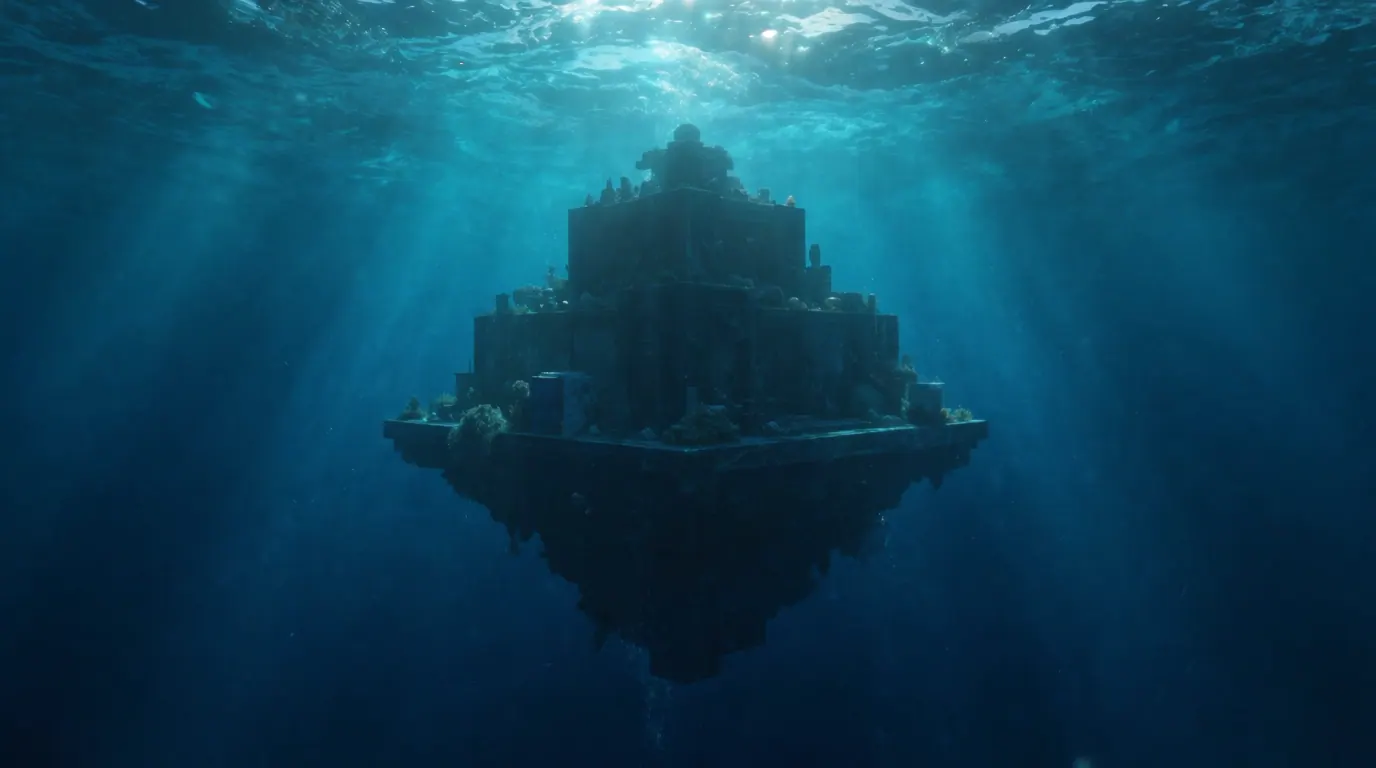
Zelitsky and Weinzweig's own caution did not survive contact with a wire desk. Within days of their 2001 announcement, "it would be totally irresponsible to say what it was" had become "lost city," and a speculative Atlantis aside in an interview turned into the headline carrying the whole story. The sonar data were real. The civilization was never more than a possibility the discoverers themselves refused to confirm.
What the instruments actually recorded
Advanced Digital Communications was contracted to survey Cuban waters for commercial purposes when its side-scan sonar returned unusually regular shapes off the Guanahacabibes Peninsula in July 2000. A return trip with a 1.3-tonne remotely operated vehicle produced video of blocks described as two to five metres long, arranged in perpendicular and circular patterns at 650 to 750 meters down. Cuban geologists at the time argued the stone looked too smooth and hard for ordinary limestone, floating granite as a possibility - a claim that, if confirmed, would itself be geologically unusual for that part of the Caribbean seabed.
The natural-formation counter-argument
The rebuttal came from inside Cuba's own scientific establishment, not from skeptics abroad. Geologist Manuel Iturralde-Vinent examined the same sonar maps and ROV footage and published an assessment arguing that submarine landslides and slope collapse on a steep fault-adjacent seabed could produce comparably regular-looking debris fields without any human hand involved. His report did not declare the site a hoax; it said the evidence on hand simply could not settle the question either way, and recommended the kind of sample-recovery work that never happened.
Why the file never closed
Deep-water archaeology at 650-750 meters requires specialized submersibles far beyond what a standard survey vessel carries, and no team - Cuban, Canadian, or otherwise - has funded a follow-up expedition to physically sample the site in the decades since. That gap, not suppression, is the simplest explanation for why a sonar anomaly from 2000 still circulates as a finished "lost city" story. Readers chasing the Atlantis angle should compare the case with the Bimini Road, where a similarly photogenic underwater feature off the Bahamas split specialists the same way: striking imagery on one side, an unglamorous geological explanation on the other, and no recovered artifact to end the argument.
Reading the sonar images responsibly
Every published still is acoustic or video data, not a museum photograph of cut stone. The granite-like block descriptions come from the discoverers' own on-camera narration during the ROV passes, not from a laboratory mineral analysis. Until someone brings a sample to the surface, the honest caption for any Cuba "lost city" picture is the one Paulina Zelitsky gave Reuters in 2001: a structure that looks like it could have been something, photographed by people who refused to say for certain what it was.