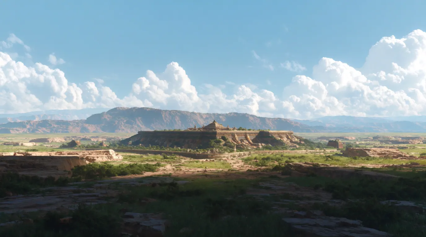
AI illustration for Tartaria conspiracy lore - atmospheric only, not historical cartography.
AI ILLUSTRATION FOR REFERENCE ONLY

Tartaria

Tartary · Tartarian Empire · Mud flood (related fringe motif)
FOLKLORE

Mainstream consensus: Internet conspiracy overlay on historical geographic labels - not a verified lost empire.

Share this page
Short answer

Tartaria is an internet-era empire myth built from old map labels for Inner Asia and conspiracy readings of world fairs and mud floods. Historians treat Tartary as a geographic exonym, not a suppressed global super-civilization erased by elites, and primary atlases still show that quieter story.

Mainstream view

Tartary/Tartaria on early modern maps names broad Inner Asian regions known imperfectly to European cartographers. No evidence supports a single erased global Tartarian high-tech civilization or a worldwide mud-flood reset.

Alternative claim

A vast Tartarian empire built giant architecture worldwide, then was destroyed or covered up - often via mud flood - by modern powers rewriting history.

Tartaria thrives on a category error that feels like a revelation. Early modern Europeans stamped “Tartary” across huge stretches of Inner Asia when their maps were honest about ignorance. Centuries later, internet communities treated those ink blotches as the footprint of a deleted super-empire - free energy, mega-architecture, mud floods, and a cover-up so total that only window-line dirt stains remain as clues.

Historians separate the word from the myth. Tartary-as-exonym is real cartographic history. Tartaria-as-suppressed-civilization is a twenty-first-century storytelling machine that digests world fairs, classical facades, and disaster photos into a single plot. No archive series, ceramic sequence, or geological layer confirms a recent global Tartarian high culture erased by elites.

Peers include other map-fed legends like Atlantis theories and subterranean mashups like Agartha. Conspiracy-adjacent place lore such as Denver Airport shows how infrastructure attracts similar cover-up readings.

Part of Tartaria’s grip is aesthetic. Classical domes, expo palaces, and mud-stained basement windows make compelling screenshots. The conspiracy method stitches those images into a before-and-after of a deleted golden age. Historians answer with architects’ names, steel orders, fair catalogs, and the ordinary mess of nineteenth-century construction photography.

Separating Tartary-the-map-word from Tartaria-the-empire-myth is the whole job of the subject. One belongs in the history of cartography. The other belongs with free-energy and mud-flood storytelling. Readers who want Inner Asian history will find khanates, trade routes, and empires with archives - none of which require a global reset to explain a cornice line.

World's-fair architecture and mud-flood memes do heavy lifting online. Primary atlases showing "Tartary" as a broad Inner Asian label do quieter, clearer work.

Tartaria conspiracies remix atlas labels and world's-fair photos into a lost empire. Cartographers' "Tartary" was a regional catch-all, not a suppressed high-tech civilization.

Mud-flood timelines skip archives that quietly explain world's-fair plaster and ordinary empire maps. The missing paperwork is usually sitting in a library catalog, not a vault of erased Tartaria.

Illustrations

AI illustrations for reference only - not documentary photographs.

Tartaria myth atmosphere (AI illustration)AI illustration for reference only

Key debates and stories

Attributed discovery narratives, debates, and claim histories from named sources. Links open the originals; AnomalyWiki does not verify these claims.

Claims vs mainstream

The claim

Old maps prove a forgotten Tartarian world empire.

Mainstream view

Early modern maps use Tartary as a regional label for poorly mapped Inner Asia, not as proof of a single global state with suppressed tech.

The claim

World’s fairs and classical buildings are Tartarian ruins.

Mainstream view

Documented nineteenth–twentieth-century architecture and fair construction have builders, budgets, and archives; conspiracy reframing is not historiography.

The claim

A global mud flood erased Tartaria and was covered up.

Mainstream view

No geological event matches the fringe mud-flood reset narrative as a worldwide civilizational wipe in recent centuries.

Timeline

  1. Early modern eraEuropean maps label large Inner Asian zones as Tartary / Great Tartary amid limited geographic knowledge.Source: History of cartography; Tartary geographic term
  2. 19th–20th centuryBetter exploration and nation-state mapping retire Tartary as a vague catch-all on serious maps.Source: Modern geography historiography
  3. 2010sOnline Tartaria conspiracy communities go viral with mud-flood and free-energy variants.Source: Contemporary conspiracy culture overviews
  4. 2010s–present (online Tartaria wave)Tartaria remains a high-engagement fringe topic despite scholarly rejection.Source: Media reception of Tartaria claims

FAQ

Was Tartaria a real empire?

Tartary was a European geographic label for parts of Inner Asia. The viral Tartarian world empire is a modern conspiracy narrative, not mainstream history.

Why does Tartary appear on old maps?

Early modern cartographers used broad exonyms where their knowledge was limited. Labels are not the same as authenticated imperial archives of a global high-tech state.

What is the mud flood theory?

A fringe claim that a recent worldwide mud disaster buried advanced cities. It lacks geological consensus as a global civilizational reset.

Are classical buildings proof of Tartaria?

Documented architects, patrons, and construction records explain those buildings without a deleted Tartarian civilization.